|
REFRACTORLAND
"Hypertextual Moon Atlas"
based on
A. Rükl "Atlas of the Moon" |
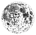
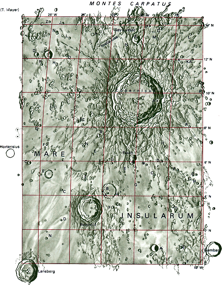
COPERNICUS
The crater Copernicus is undoubtedly one of the best known and most typical of lunar formations; it is also the center of a very prominent system of bright rays that can be traced across the surface of Mare Imbrium (see maps 20 and 21). To the west of Copernicus is a group of scattered solitary hills that rise to a height of several hundred meters.
|
|
North |
|
[ Home ]
[ Full Moon Map ]
[ Index of Lunar Features ]
Age of Moon: d. 9
Section 31
RELEVANT FEATURES
- Carpatus, Montes - height up to
2.000 m, length 400 km
- Copernicus - 93 km
- h. 3760 m
- Copernicus H -
4,6 km - h. 870 m
- Fauth - 12,1 km -
h. 1960 m
- Fauth A - 9,6 km -
h. 1540 m
- Gambart A - 12 km
- h. 2440 m
- Gay-Lussac - 26 km
- h. 830 m
- Gay-Lussac A -
14 km - h. 2550 m
- Gay-Lussac, Rima -
length 40 km
- Insularum, Mare - Sea of Isles
- T. Mayer C -
15,6 km
- T. Mayer D - 8,6 km
- Reinhold - 48 km -
h. 3260 m
|
|